Toggle navigation
Aircraft
Explore
Aircraft Types
Airlines
Airports
Owners
Current Activity
Latest Activity
Today's Activity
Newest by Category
Latest accident
Today's Accident
Latest incident
Today's Incident
Special Highlights
Upcoming Flights
Search
Statistics
Tools
ACARS translator
METAR translator
NOTAM translator
Geoid Height Calculator
Marines
Explore
Captains
Races
Current Activity
Latest Activity
Today's Activity
Search
Statistics
Trackers
Explore
Current Activity
Latest Activity
Today's Activity
Search
Statistics
Satellites
Statistics
About
About The Project
Exporting Data
Spotter TV
English
English
Deutsch (βeta)
Español
Français
English
Deutsch (βeta)
Español
Français
Leaflet
| Map data ©
OpenStreetMap
contributors,
Open Database Licence
13:25:16
13:35:48
Altitude (m)
11000
11100
11200
11300
11400
11500
11600
Speed (km/h)
674
675
676
677
678
679
680
13:25:16
13:35:48
EVA Air
EVA657 - EVA Air
Additional Data
Detailed
Download Flight Data
CSV
RSS
For Advanced Users
JSON
XML
YAML
PHP (serialized array)
For Geo/Map Users
KML
GeoJSON
GeoRSS
GPX
WKT
Flight Information
Ident/Callsign
EVA657
Airline
EVA Air
Aircraft
Not Available (NA)
Registration
NA
Departure Airport
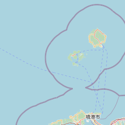
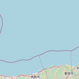
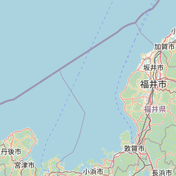
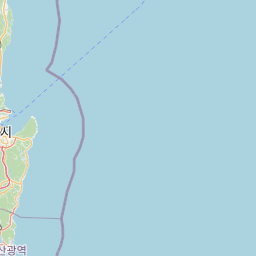
Chicago, Chicago O'Hare International Airport, United States (KORD)
Arrival Airport
Taipei, Taiwan Taoyuan International Airport, Taiwan (RCTP)
Additional information as it flew nearby
Date (Asia/Tokyo)
Jan 30, 2025 10:23 pm
Date (UTC)
Jan 30, 2025 13:23
Flight spotted duration
00:01:00
Latest ACARS message
Array