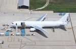


Disclaimer: The source of the above image is AirportData and is copyright Mark Pasqualino. This system may not show the actual aircraft with 100% accuracy.
Flight Information
Ident/Callsign
Airline
Aircraft
Registration
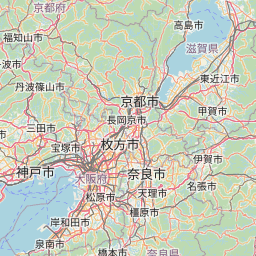
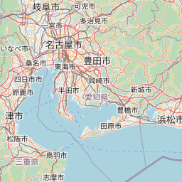
Departure Airport
Arrival Airport
Additional information as it flew nearby
Date (Asia/Tokyo)
Date (UTC)
Oct 27, 2024 13:53
Flight spotted duration
00:01:00
Latest ACARS message
Array